Maps or ちず are counted as
flat objects with the counter まい
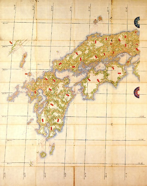
This map shows the name Yesso (Yezo is the old name for Hokkaido), but the shape just is not there. They had no idea what the island looked like, or that it was even an island. Korea was a bit of a mystery as well.The Chinese Ocean is of course the Sea of Japan. The shape of Honshu is not quite correct and islands have appeared. Just remember that they didn’t have air-planes, or satellites 400 years ago.
one map = いちまいの ちず
This is a more realistic map of Southern Japan – Kyushu.
two maps = にまいの ちず
This map of Asia shows some of the correct outlines, but the large bear in silk clothes represents Russia. The idea of a political threat is shown; Russia versus other countries with the Unites States looking on. Poor Great Britain with Ireland have been largely munted in the process.
three maps = さんまいの ちず
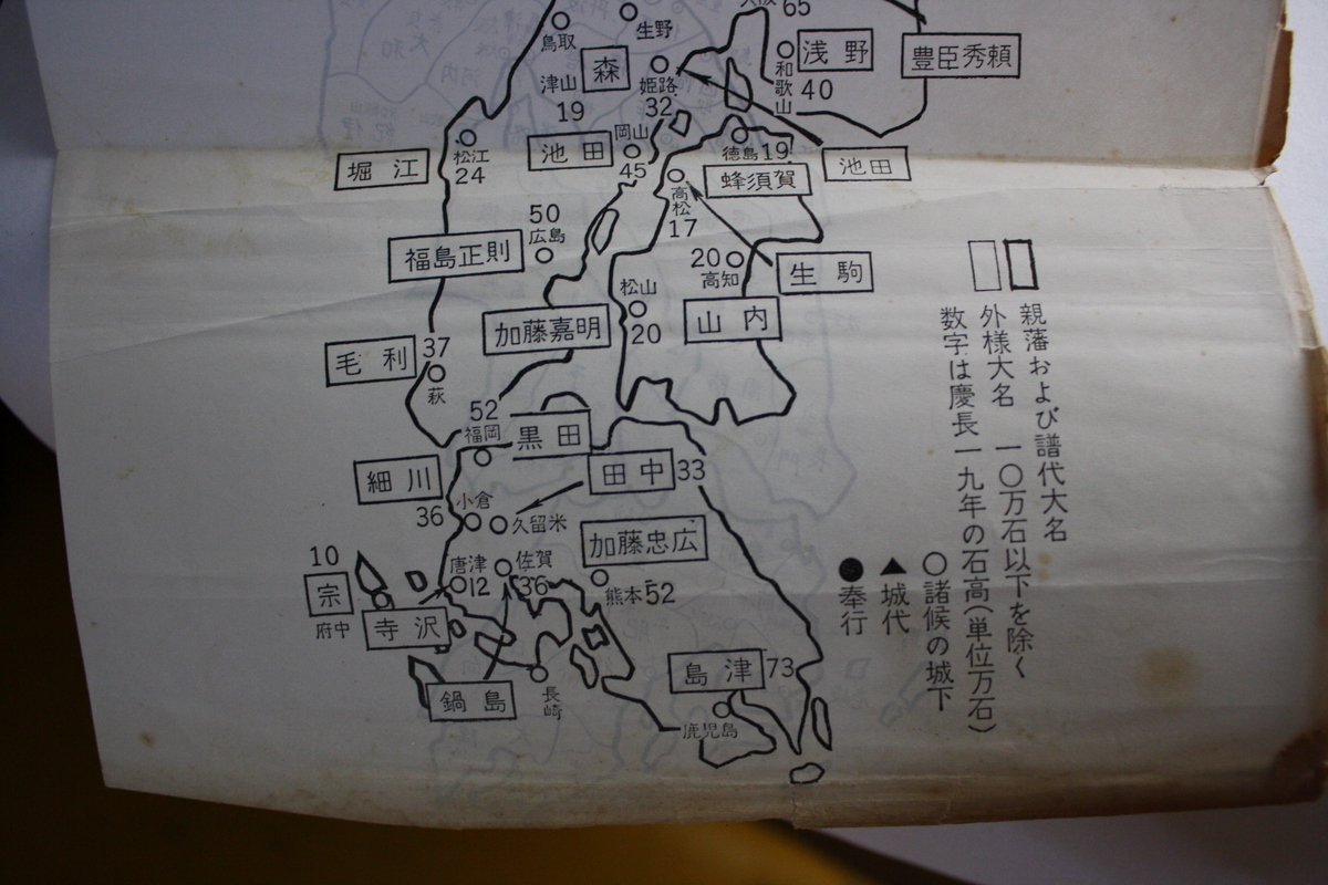
This map shows quite a different approach. It is a relatively clear three-dimensional map of Kyushu, which shows where the various clans lived. The map is more about relationships and situations.
four maps = よんまいの ちず
Many geographical details on the map are incorrect – probably not known, but the map tries very hard to make the idea of a globe very clear. The idea of a globe was relatively new and certainly against Roman Catholic Church teaching in those days. Most people still thought they lived on a Flat Earth.
five maps = ごまいの ちず
six maps = ろくまいの ちず
seven maps = ななまいの ちず
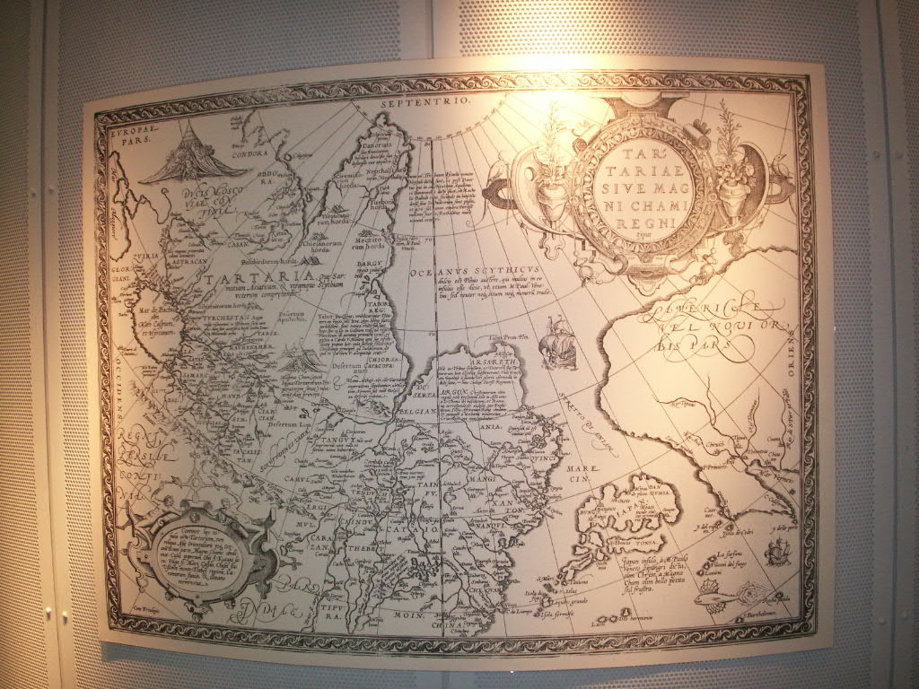
This most unrealistic map of Eastern Asia, Siberia and Japan shows that the largest area is Tartaria, which was at the time the largest part of Siberian Russia (These days Kazakhstan). Japan was no more than a small number of islands bobbing off the eastern coast. America was beyond there: it was big, but too far. It was way yonder.
eight maps = はちまいの ちず
nine maps = きゅうまいの ちず
ten maps = じゅうまいの ちず
This is a realistic map of Japan as we would recognise it these days. We have planes and satellites to help us, not to forget computers.
eleven maps = じゅういちまいの ちず


